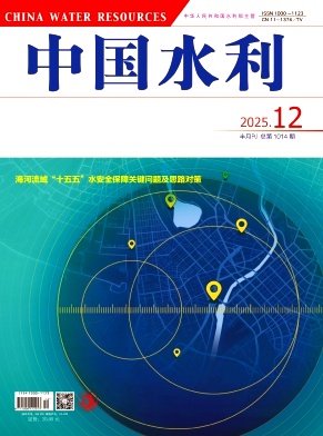
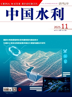
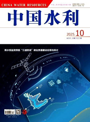
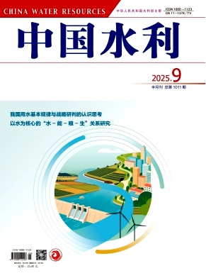
Online First
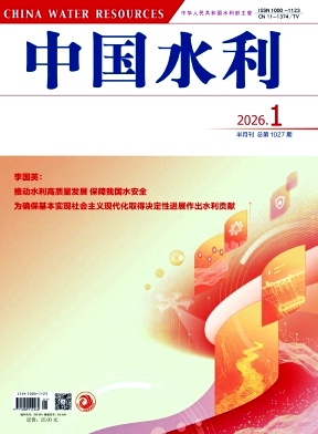
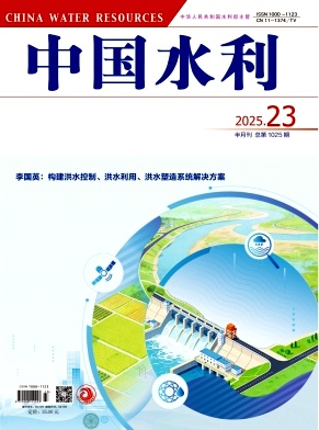
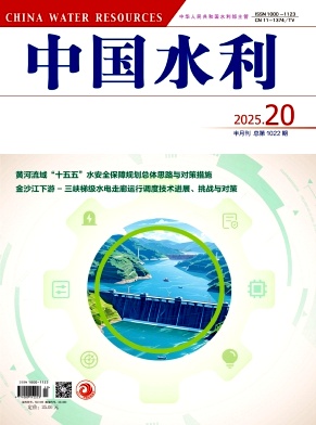
Current situation and countermeasures for flood resource utilization in China - Expert Consultation Group on Flood Resource Utilization, Science and Technology Committee, Ministry of Water Resources
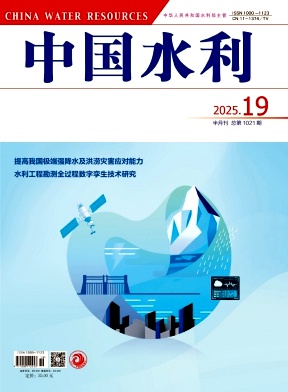
Enhancing China’s capacity in responding to extreme precipitation and flood disasters - Expert Consultation Group on Enhancing China’s Capacity in Responding to Flood Disasters
Pilot studies and reflections on deep groundwater recharge and restoration in North China - Consultation Group for Comprehensive Management of Groundwater Overdraft in North China
more..Characteristics of flood and drought conditions in 2025 and corresponding prevention and response efforts
YAO Wenguang;This paper systematically reviewed the characteristics of flood and drought conditions in China in 2025, the practices of prevention and response efforts, and the existing shortcomings. A retrospective analysis indicates that flood and drought conditions in 2025 have exhibited characteristics such as localized extreme heavy rainfall, relatively severe flooding in northern regions, and significant seasonal and periodic drought patterns. Adhering to the principles of putting people first and prioritizing lives and by establishing a mindset that anticipates worst-case scenarios and extreme situations, water resources authorities have implemented six categories of prevention and response measures rigorously, practically, and meticulously from the earliest stage. These measures include improving the flood and drought disaster prevention and response system, strengthening preparedness and readiness, implementing systematic, scientific, safe, and precise regulation of water projects for flood control, carrying out scientific emergency response, strictly preventing flash flood risks, and implementing precise regulation of water projects for drought relief. As a result, major rivers remain calm, and no reservoir dams collapse nationwide for four consecutive years; no key embankments are breached, and urban and rural water supply is effectively secured. However, under the challenges posed by climate change, shortcomings and weaknesses persist in flood and drought disaster prevention, including insufficient monitoring, forecasting, and early warning capabilities for small watersheds in mountainous areas, heightened flood risks for small and medium-sized reservoirs, and inadequate capabilities for monitoring, forecasting, and early warning of medium-to long-term drought conditions. Adaptive strategies are proposed accordingly, including accelerating the improvement of the flood and drought disaster prevention and response system, developing systematic solutions for flood control, flood utilization, and flood re-creation, and continuously strengthening the foundational work of flood and drought disaster prevention.
Retrospective analysis of extreme rainstorm forecasting in 2025 and response considerations
WANG Lin;ZHANG Ling;A retrospective analysis was conducted on four extreme rainstorm events that occurred in Laiwu of Shandong Province, Miyun of Beijing, Yuzhong of Gansu Province, and Ji'an of Jilin Province in 2025. The analysis indicates that current numerical forecasting models still have evident limitations in predicting the initiation and life cycle of mesoscale and small-scale convective systems. In particular, large deviations remain in forecasting the location and intensity of localized heavy rainfall induced by long-distance moisture transport from typhoons and by complex topographic conditions. In response to these challenges, countermeasures are proposed from four aspects. First, the construction and application of water conservancy precipitation radar networks should be strengthened, while multi-source data fusion and AI-based inversion technologies should be advanced to achieve more accurate precipitation monitoring. Second, the “cloudrain” precipitation model should be upgraded by introducing physical constraints and dynamic parameter calibration mechanisms, so as to overcome the bottlenecks of traditional statistical models in capturing multi-scale precipitation systems. Third, identification and forecasting models for typhoon residual vortices should be developed to address the problem of sustained disaster impacts after typhoon landfall. Fourth, AI-integrated ensemble precipitation forecast interpretation techniques should be developed to quantify the occurrence probability of extreme precipitation events. Through the above measures, it is expected that the lead time of flood-causing rainstorms can be extended and forecast accuracy can be improved, thereby providing stronger scientific support for flood control decision-making.
Characteristics and prevention of floods in small and medium-sized rivers in extreme weather conditions
WU Zebin;CHAI Fuxin;XU Weihong;Small and medium-sized rivers bear multiple strategic missions such as national water security, rural revitalization, regional coordination, and sustainable development. There are 11,169 small and medium-sized rivers in China whose drainage area ranges from 200 to 3,000 square kilometers, with their total drainage area accounting for 61.4% of the country's total land area. There are 1,447 cities at the county level and above, a population of 494 million, 410 million mu of cultivated land, and 300 million mu of prime farmland distributed along their banks. In recent years, against the backdrop of frequent extreme rainstorm events, the suddenness, abnormality, uncertainty, and disaster-causing nature of floods in small and medium-sized rivers have become more prominent. The death toll caused by such floods accounts for approximately 20% of the total fatalities caused by flood disasters nationwide, thereby making these floods a key and difficult point in current flood and drought disaster prevention. This paper systematically analyzes the characteristics of small and medium-sized rivers in 2025, including frequent extreme rainstorms, widespread spatial distribution of floods, the frequent occurrence of floods exceeding the design standard, as well as strong suddenness and disaster-causing nature. Meanwhile, it conducts an in-depth analysis of the problems and limitations in the current flood prevention of small and mediumsized rivers in terms of the engineering system, monitoring system, forecasting and early warning, engineering operation and management, and river channel management. In accordance with the concept of systematic governance of small and medium-sized rivers, targeted measures and suggestions are put forward from the perspectives of improving the engineering system for flood control of small and mediumsized rivers, rainfall and water regime monitoring and forecasting system, flood disaster prevention work system, as well as strengthening risk management and control and mechanism research. This study can provide a reference for flood prevention of small and medium-sized rivers in the new era.
Evolutionary characteristics and countermeasures of flash flood disasters in extreme weather conditions
QIAN Feng;YAO Qiuling;ZHANG Haitao;Against the backdrop of intensifying global warming, extreme weather events have become increasingly frequent, intense, and widespread. As a result, flash flood disasters in China have shown a trend of remarkable enhancement in suddenness, extremeness, and destructiveness, posing a severe threat to people's lives and property safety. Therefore, flash flood disasters have become the top priority, key challenge, focal concern, and critical focus in current flood and drought prevention efforts. Based on the review and analysis of 12 typical flash flood, debris flow, and landslide disasters across China in 2025, this study systematically analyzes the evolutionary characteristics and driving factors of flash flood disasters in extreme weather conditions. Flash flood disasters currently exhibit such typical characteristics as northward and westward expansion, concentrated occurrence during the main flood seasons, a high occurrence at night, a high proportion of mobile and vulnerable groups in the affected population, and intensified cascading compound superposition effects. The core reasons are listed as follows. Firstly, the northward shift of rain belts, coupled with underlying surface conditions, drives the northward and westward expansion of the disasters. Secondly, the severity and frequency of extreme weather events exacerbate disaster-causing risks. Thirdly, rapid urbanization and development activities in mountainous areas result in prominent vulnerability of disasterbearing bodies. In view of the shortcomings in flash flood disaster prevention in extreme weather conditions, this paper proposes systematic prevention thoughts and countermeasures from four aspects: establishing a full-chain prevention system that integrates monitoring, forecasting, early warning, simulation, and emergency planning, improving the engineering system for the systematic governance of flash flood gullies in small watersheds, enhancing the building of the whole society's disaster prevention resilience, and deepening research on disaster mechanisms in the context of climate change. This study aims to provide a scientific reference for improving the ability of preventing flash flood disasters under new circumstances.
[Downloads: 160 ] [Citations: 0 ] [Reads: 0 ] HTML PDF Cite this article
[Downloads: 410 ] [Citations: 0 ] [Reads: 0 ] HTML PDF Cite this article
Pilot studies and reflections on deep groundwater recharge and restoration in North China
Overdraft of confined deep groundwater remains a serious issue in North China, where natural recovery is difficult due to limited recharge and slow renewal of deep aquifers. This has led to the long-term existence of groundwater depression cones, further triggering a series of ecological damages and geological hazards such as ground subsidence and seawater intrusion, exerting ongoing impacts on regional production, livelihoods, and ecological security. To address the groundwater depletion caused by long-term overdraft, a coordinated “point-line-area” approach and a comprehensive governance and restoration model integrating “suppression, recharge, and reinjection” have been proposed. This paper introduces the conditions and progress of recharge experiments conducted at four established pilot sites, and summarizes the findings and outcomes of a series of thematic studies carried out in conjunction with these recharge trials. Existing challenges of the pilot projects are identified, including short experimental durations,insufficient research, unoptimized water sources, and the need for improved test site conditions. In response, several targeted recommendations are proposed: extending the duration and depth of experimental studies, optimizing recharge areas and water sources, advancing research on anti-blocking and permeability-enhancement technologies,strengthening scientific and technical support, evaluating recharge effectiveness, improving research platform infrastructure, and increasing dedicated financial support, aiming to provide experiences for systematic recharge and restoration of deep groundwater and ensure sustainable utilization of groundwater resources.
[Downloads: 200 ] [Citations: 0 ] [Reads: 0 ] HTML PDF Cite this article
Safety of river courses of middle and lower mainstreams of the Yangtze River and measure study
Xu Quanxi;Jin Zhongwu;Safety of the middle and lower reaches of the Yangtze River relates directly to flood control, water supply, navigation and ecology of the basin. After years of practices, great achievements have been made in improving river regime, flood control safety, ecology and navigation. Key issues were examined including failure to ciontrol high flood peak due to insufficient storage and discharge capacity, unstable conditions of local rivers and mainstreams caused by erosion and sedimentation, water level drops during dry seasons, and degradation of water environment that fail to meet the water quality requirements specified for water function zones. New situations in the new stage and under new water-sediment condition are examined. First, highquality development of the Yangtze River Economic Belt makes new and higher requirements for the safety of the river. Second, erosion and sedimentation of the middle and lower reaches and the relationship between river and lake have undergone changes and will continue to be adjusted in the long term in the future. Further analysis was conducted on the characteristics of water and sediment change since the operation of the Three Gorges Dam and the evolution pattern and impact of different river type. Future trend of water and sediment and changes of river lake relationship were analyzed. In response to the existing problems, fully considering the trend of strategic adjustments in the new period, and focusing on the multi-objective synergy needs, a series of main measures have been implemented to ensure river safety, including formulating relevant laws and plans, upgrading river and canal regulation and dredging projects, improving the river lake administration and supervision system, strengthening the coordinated operation of reservoir groups, and promoting the construction of digital twin Yangtze River.
[Downloads: 347 ] [Citations: 0 ] [Reads: 0 ] HTML PDF Cite this article
[Downloads: 261 ] [Citations: 0 ] [Reads: 0 ] HTML PDF Cite this article
Water Rights and Water Markets: Discussing Economic Means for Achieving Optimal Allocation of Water Resources
Wang ShuchengThis article serves as a speech outline prepared for the 2000 annual conference of the China Institute of Water Resources. On March 30, 1999, during the Seventh National Congress of the China Institute of Water Resources, I presented the viewpoint of "transitioning from engineering water resources to resource-based water resources." That speech cannot be considered a purely academic theoretical article; rather, it was a set of requirements for water resources work based on the practical development of water resources. It aimed to initiate a major discussion on "how China's water resources should face the 21st century" and fulfilled my responsibilities as a leader. Similarly, "Water Rights and Water Markets", although discussing issues of water economics, does not make me an expert in this field. Instead, the urgent demand for the reform and development of water resources in China requires us to research and address such topics. I have merely laid the groundwork to draw attention to this issue.
The Outline of the 14th Five-Year Plan(2021—2025) for National Economic and Social Development and the Long-Range Objectives Through the Year 2035 of P. R. China
[Downloads: 4,457 ] [Citations: 430 ] [Reads: 16 ] HTML PDF Cite this article
Analysis of Water Supply and Demand in 21st Century China: Ecological Water Conservancy Research
Liu ChangmingFacing the resource and environmental challenges in 21st-century China, the issue of water is particularly severe. Scarcity and wastage coexist; abundance and ecological imbalance coexist; contamination and poor management coexist. In fact, there are interconnected and transformative relationships among water resources, water disasters, and water environments. Water, as a core element of ecology and the environment, has positive effects when utilized efficiently as a water resource. However, fluctuations in its abundance and scarcity can lead to water-related disasters, while its quality evolution is closely related to water management and environmental protection efforts...
Speech at the Symposium on Ecological Protection and High-quality Development of the Yellow River Basin
Xi Jinping;[Downloads: 3,963 ] [Citations: 335 ] [Reads: 166 ] HTML PDF Cite this article
Objectives of River Ecological Restoration
While water conservancy engineering construction has brought significant benefits to the economy and society, it has also posed threats to river ecosystems. Reflecting on this, people have raised questions about how to restore river ecosystems to compensate for the damage. Scholars from various countries have different views and definitions regarding the objectives of river ecological restoration. Considering the national conditions of China, when researching and implementing river ecological restoration, it is essential to base the efforts on the current status of river ecosystems. Creating favorable conditions and harnessing the self-recovery mechanisms of ecosystems are crucial steps in gradually restoring river corridor ecosystems.
A preliminary discussion of the engineering ethics and advanced cultural in Dujiang Weir
Wang Zhongjing;Zhang Teng;The Chinese people has thousands years of history for water governance.The practices of water governance,utilization and management of successive dynasties have left us with rich material,institutional and spiritual wealth.In order to explore the multiple values of this world cultural heritage,discussions are made on the contribution of those outstanding water projects represented by Dujiang Weir,so that Chinese wisdom and China's plan can be developed to address issues of imbalance between water supply and demand and other water crisis.Eco-friendly water project construction in the new age should be led by advanced water culture,with learning from good practices of Dujiang Weir from conservation and cultural prospective,so as to build a society with harmony of man and water and water structures in a modernized and eco-friendly ways.
[Downloads: 6,237 ] [Citations: 5 ] [Reads: 246 ] HTML PDF Cite this article
Human activity and the global climate change and its impact on water resources
Ding YihuiIn understanding the effect of human activity on the global climate change for recent 100 years, IPCC (Intergovernmental Panel on Climate Change) has played a key role. During 17 years from 1990, IPCC has continuously gained insight into better understanding on the global climate change during the recent 100 years mainly caused by human activity, with its four assessment reports. This achievement has been made with provision of three aspects of evidences: (1) rapid increase in greenhouse gases since preindustrial era (after 1750); (2) temperature rise or warning of surface, tropospospere and oceans; (3) 100-yr climate simulations since 1900 for detection and attribution of the past climate change. These results have shown that recent 100-yr warming is jointly caused by natural climate fluctuation and anthropogenic activity, but most of recent 50-yr climate change is caused by the authropogenic activity. The present paper has first reviewed this issue. Then, the debates and uncenrtainties of global climate change issue have been discussed. The global climate change has had a significant impact on global water resources and management. This issue is further discussed based on changes in temperature, precipitation, sea level rise and evapotranspiration, which may be a necessary scientific basis for adaptation.
[Downloads: 6,236 ] [Citations: 177 ] [Reads: 233 ] HTML PDF Cite this article
Discussions on key issues of water ecological civilization construction
Zuo QitingHow to understand water ecological civilization construction? On the basis of the interpretation of the spirit of the 18th National Congress of the Communist Party of China,this paper analyses and discusses several key issues of water ecological civilization as follows.First,the definition and connotation of water ecological civilization are given and the links between water ecological civilization construction and ecological civilization construction proposed by the state are elaborated.In addition,this paper analyses the crucial issues which should be paid attention to during the process of advancing water ecological civilization,and proposes specific recommendations to help to make the 5 goals of water ecological civilization come to be realized.
[Downloads: 5,253 ] [Citations: 248 ] [Reads: 228 ] HTML PDF Cite this article
The Outline of the 14th Five-Year Plan(2021—2025) for National Economic and Social Development and the Long-Range Objectives Through the Year 2035 of P. R. China
[Downloads: 4,457 ] [Citations: 430 ] [Reads: 16 ] HTML PDF Cite this article
Thought of ancient "sponge city" : experiences of applying water-adaptive landscape
Chen Yiyong;Yu Kongjian;"Sponge city" is regarded as a new approach to deal with serious ecological and environmental problems under the process of fast urbanization at present. In ancient times, we have accumulated valuable experiences of building adaptive landscapes in the process of water resources management over a long period of time and fighting against various water disasters, such as selection of site of settlement, water resources management in cities and formation of cities. This approach has reflected the thought of "sponge city" that has great significance to the design of city landscape. Research and studies on adaptive landscape in ancient cities by academic field both home and abroad in recent decades are introduced, among which the study results from the Middle East, Ancient Greece, Ancient Rome and ancient mayan civilization are plenty and most of the studies focus on water diversion and storage works. The contents and type of adaptive landscape are affected by precipitation and landscape characters. The key areas of current studies have transformed from single factors such as flood control or drought relief into comprehensive research including examining complex structure and complicated functions of water landscape. Along with development of modern technology, how to improve theories of "sponge city" construction and practice has become a key subject for modern landscape design, facing the increasingly degradation of water environment and ecosystem and the fact of heritages of water landscape in ancient cities have been damaged and disappeared with each passing day.
[Downloads: 4,427 ] [Citations: 89 ] [Reads: 241 ] HTML PDF Cite this article
Information
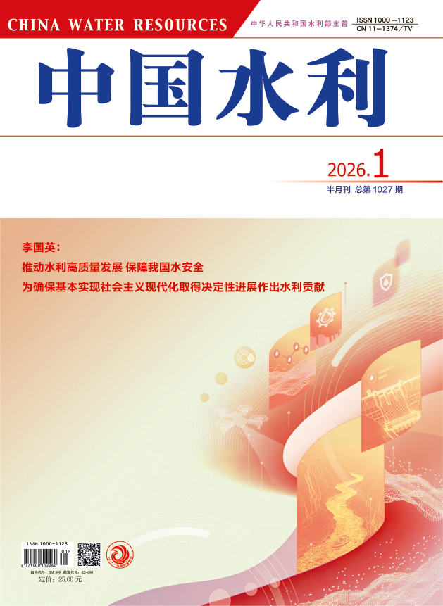
Supervisor: Ministry of Water Resources of the People's Republic of China
Sponsor: China Water Resources News
Address: Room 601, IWHR Building C, No.3 Yuyuantannan Road, Haidian District, Beijing
Postal Code: 100038
Semimonthly
CN 11-1374/TV
ISSN 1000-1123
Tracking the information about your manuscript
Communicate with the editorial office
Query manuscript payment status Editor LoginCollecting, editing, reviewing and other affairs offices
Managing manuscripts
Managing author information and external review Expert Information Reviewer LoginOnline Review
Online Communication with the Editorial Department
Download Center
Links
WeChat official account


